
The Oise rises in Belgium near Chimay before flowing 330 kilometres into the Seine at Conflans-Sainte-Honorine. It flows for 18 kilometres through the Pays d'Oise et d'Halatte, shaping the landscape by feeding the sixty or so ponds along its banks. These bodies of water were formerly gravel pits, but have now been converted for leisure activities such as fishing, waterfowl hunting and water sports. The area is also home to the Eurovélo3 and London-Paris cycle routes, as well as the Ois'eau ecological reserve.. You can watch the birds of the reserve without disturbing them, thanks to the various observatories set up along the way.
River activity has always been very intense on the Oise.
In the past, the town of Pont-Sainte-Maxence had a port upstream from the bridge. It was used to transport goods, particularly wheat and wine. Downstream, there was also a timber port (on the right bank) and a sand port (on the left bank). The sand came from Fleurines and was transported by small train along the main road.
Today, the last active commercial port is mainly used for cereals.
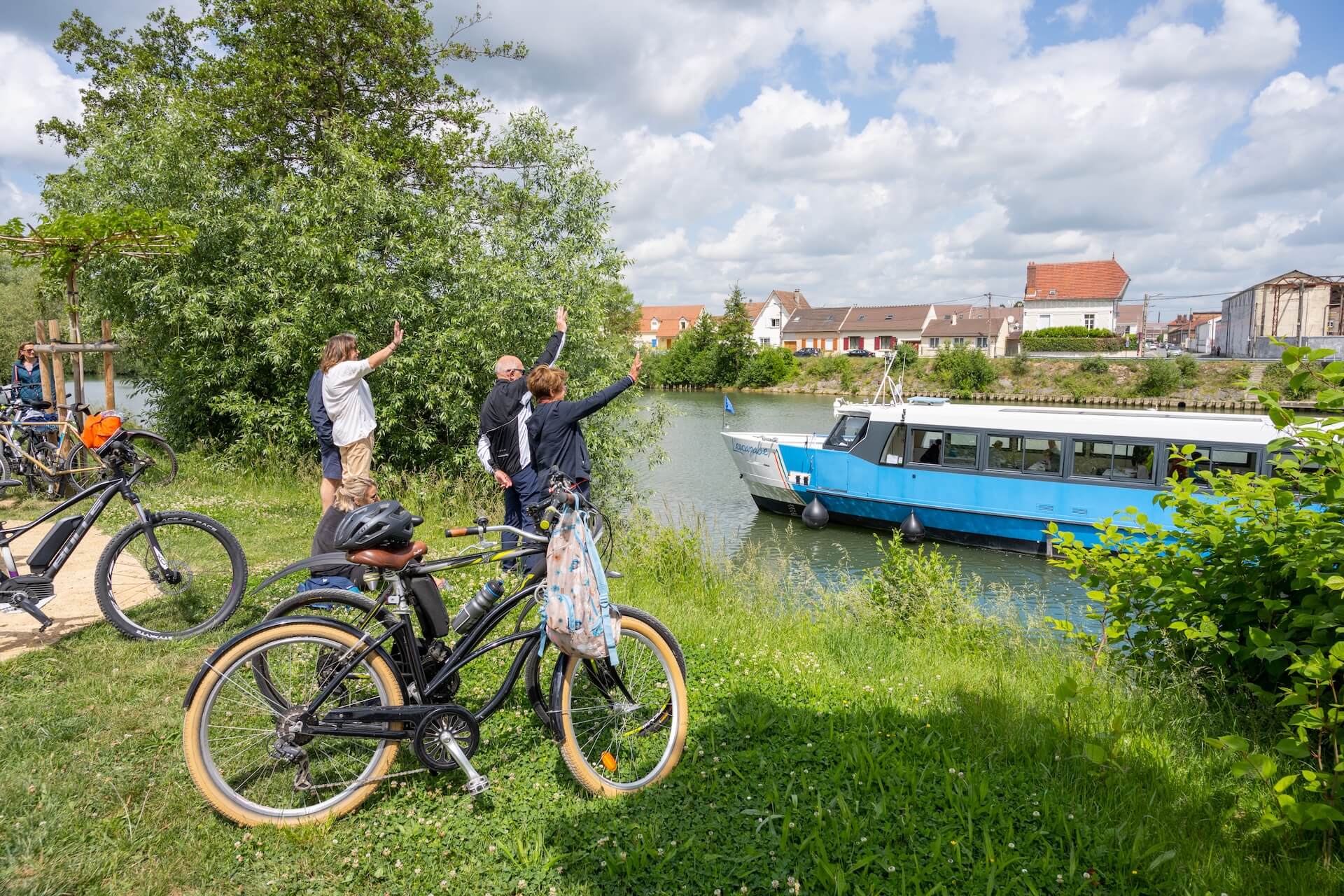
Commercial barges and other cruise or leisure craft ply the Oise throughout the year. Some of them call at Pont-Sainte-Maxence near the lock and dam, at the halte fluviale (Place Palteau) or at Verneuil-en-Halatte near the Biondi footbridge.